Longs Peak And The Indian Peaks
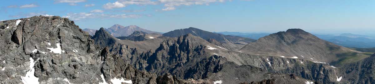
The wind raced across my face and bit at my skin and I set up to take this most unusual shot of Long's Peak to the north. This is the farthest eastern swing of the continental divide as it becomes the western edge of Boulder county. The plains of the midwest start just 15 miles to the east.
Boulder county is wild, raw and high. The highest point in Rocky Mountain National Park is Long's Peak, 14,251' and that is also the north west corner of Boulder County. It is the flat peak in the center back.
The Indian Peaks as these mountains are called, are every bit as wild and rough as the national park. The elevation of this shot is 13,397, the summit of South Arapahoe Peak. Not bad for a quick hike in the morning.
Item Number: A-115 ![]()
Location: Indian Peaks, Boulder CO
Click the order button to see pricing options.
Framing notes, click to view.
This Web Page © Copyright May 2009 Mountain Studios Phone: 303.449.7588 Go To Top